Navigation Device
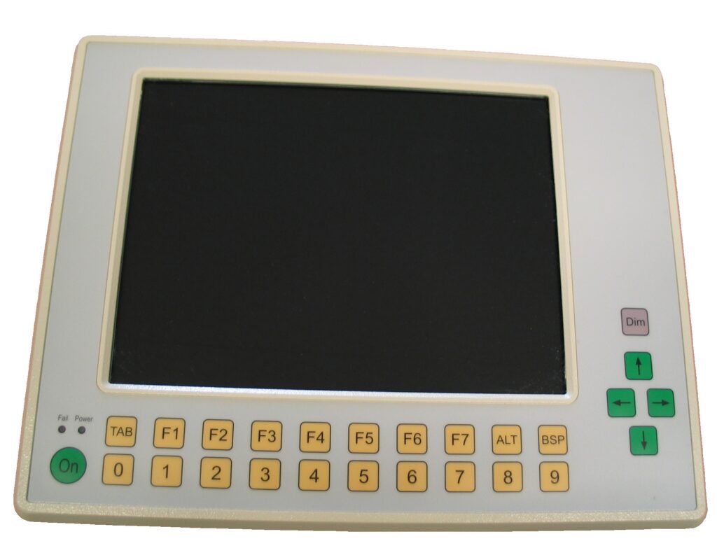
This project resulted in a replica of the navigation device (BGNAV) in a shooting command vehicle for the purpose of simulation. It is a device that determines the current position with GPS and inertial navigation and allows the shooting commander to make target measurements.
In this project, the following technologies were used:
- High-precision calculation and conversion methods from coordinates in different coordinate systems (Swiss Grid, UTM, Lat / Long, XYZ etc.)
- Network communication for control over the entire simulation system
- Embedded PC with TFT screen
- Windows Operating System
The system is written in C ++.